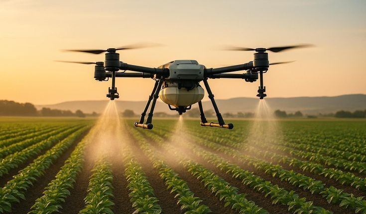
Agri Drones
Survey Drones
Creative Drones
Video Drones
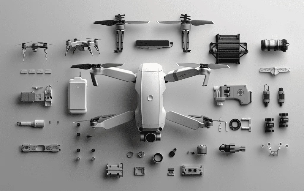
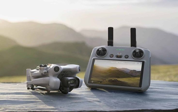
Accessories
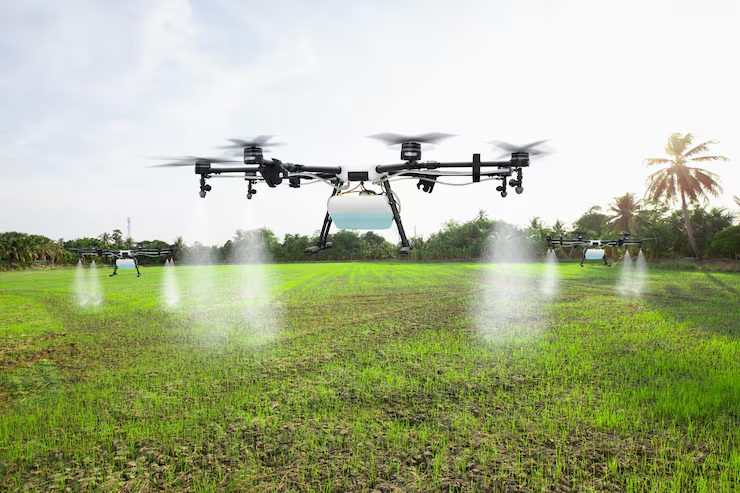
AGRICULTURE
Quanthexa delivers AI-powered aerial services for agriculture, enabling crop health monitoring, yield prediction, soil analysis, and resource optimization using UAVs and data-driven analytics.
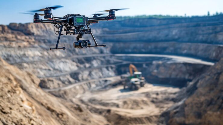
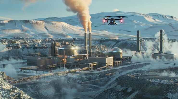
Mining
Quanthexa delivers AI-powered aerial intelligence for opencast mining, enabling real-time monitoring, volumetric analysis, safety, environmental compliance, and operational optimization through advanced analytics and LiDAR technology.
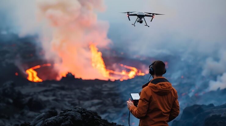
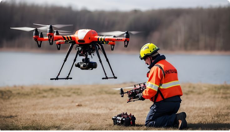
DISASTER RISK MANAGEMENT
Quanthexa delivers AI-powered aerial services for disaster risk management, enabling real-time monitoring, hazard mapping, early warning systems, and damage assessment using UAVs, LiDAR, and advanced sensor analytics.
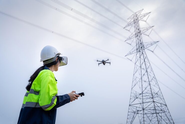
POWERLINE
Quanthexa offers AI-enabled aerial services for powerline infrastructure, delivering precise inspections, thermal analysis, encroachment detection, and route surveys using drone technology and advanced analytics.
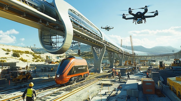
RAILWAYS & METRO
Quanthexa provides AI-powered aerial services for railways and metro projects, enabling DPRs, route surveys, asset monitoring, inspections, and progress tracking using UAVs, LiDAR, GIS, and advanced analytics to improve planning accuracy, safety, and project efficiency.
ROADS & HIGHWAYS
Quanthexa delivers AI-powered aerial services for roads and highways, supporting DPRs, route surveys, construction monitoring, asset inspections, and corridor analysis using UAVs, LiDAR, GIS, and advanced analytics.
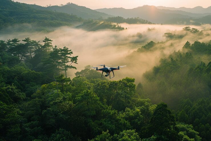
FORESRTY
Quanthexa provides AI-driven aerial services for forests and the environment, enabling real-time monitoring, vegetation health analysis, fire management, biodiversity mapping, and carbon assessment using UAVs, LiDAR, and advanced sensors.
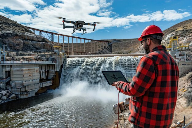
DAMS & HYDRO POWER
Quanthexa delivers AI-powered UAV solutions for dams and hydropower, enhancing safety, efficiency, and compliance through real-time monitoring, advanced analytics, reduced inspection time, lower costs, and minimized human risk.
THERMAL POWER
Quanthexa provides AI-powered aerial solutions for thermal power plants, enabling inspections, hotspot detection, volumetric analysis, progress tracking, and real-time asset monitoring using advanced drones, thermal sensors, and smart analytics. This helps plant teams improve safety, reduce downtime, and operate more efficiently.
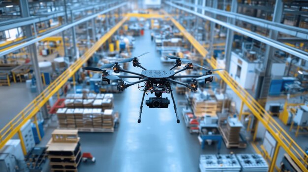
MANUFACTURING PLANT
Quanthexa provides AI-powered aerial services for manufacturing, enabling plant inspections, risk and asset assessments, progress monitoring, and insurance surveys through UAVs, thermal imaging, and advanced analytics.
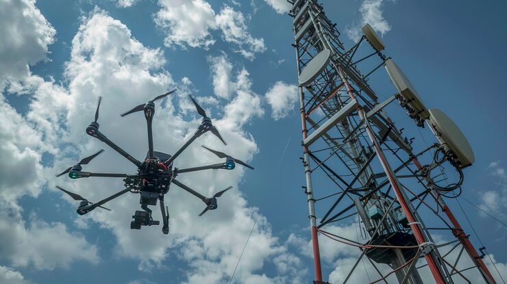
TELECOMMUNICATIONS
Quanthexa provides AI-powered aerial services for telecommunications, enabling tower inspections, visual and thermal surveys, line-of-sight analysis, 3D modelling, and asset management for efficient maintenance and repair planning.
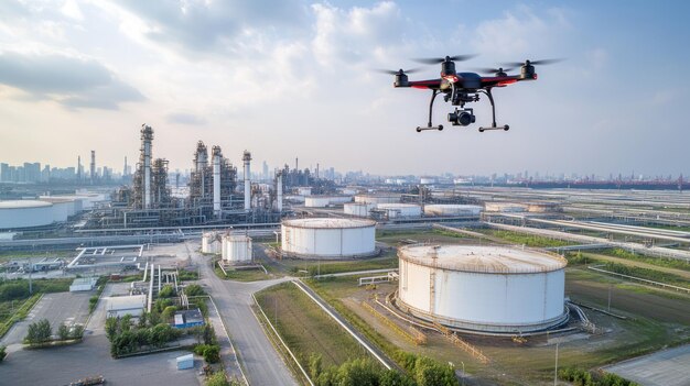
OIL & GAS
Quanthexa delivers AI-powered aerial services for oil and gas, enabling pipeline and plant inspections, route surveys, leak detection, construction monitoring, and safety audits using UAVs, thermal sensors, and advanced analytics.

URBAN PLANNING
Quanthexa provides AI-powered aerial services for urban planning, enabling GIS-based surveys, 3D modelling, infrastructure monitoring, land-use planning, and smart city development through UAVs and advanced analytics.
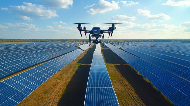
SOLAR POWER
Quanthexa delivers AI-powered UAV services for solar power, enabling thermal and visual inspections, performance analytics, progress tracking, and asset management across the entire solar project lifecycle.

CONSTRUCTION & INFRASTRUCTURE
Quanthexa provides AI-powered aerial services for construction and infrastructure, enabling surveys, 3D modelling, progress tracking, inspections, and anomaly detection using UAVs and analytics
Bharat Kiran P
DGCA Pilot

Become Our Next Pilot!
-

Become Our Next Pilot!
-